


Nimblewill, GA
Appalachian Trail
A legendary long-distance hiking trail spanning the Appalachian Mountains—no permit needed to explore it.

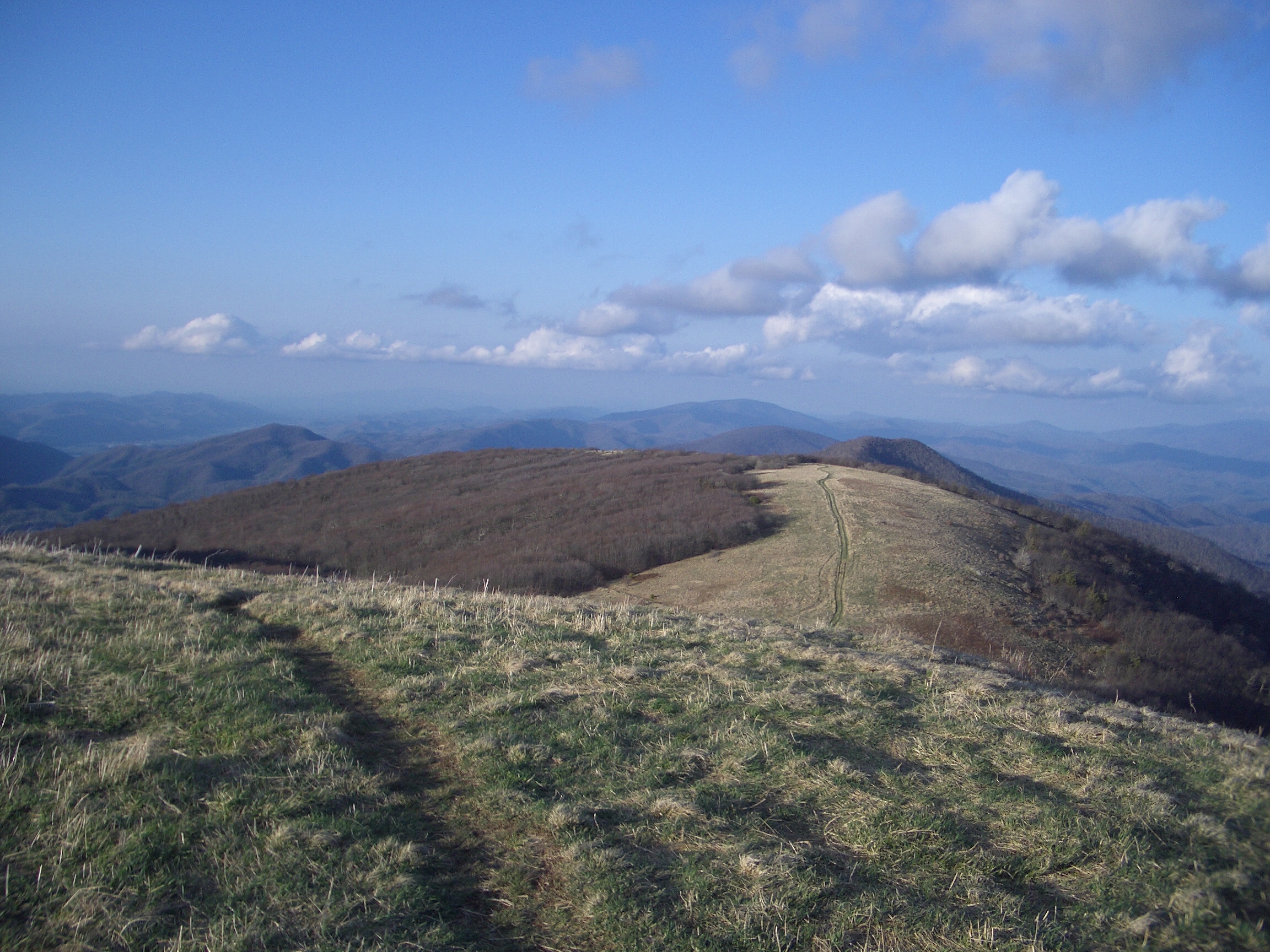

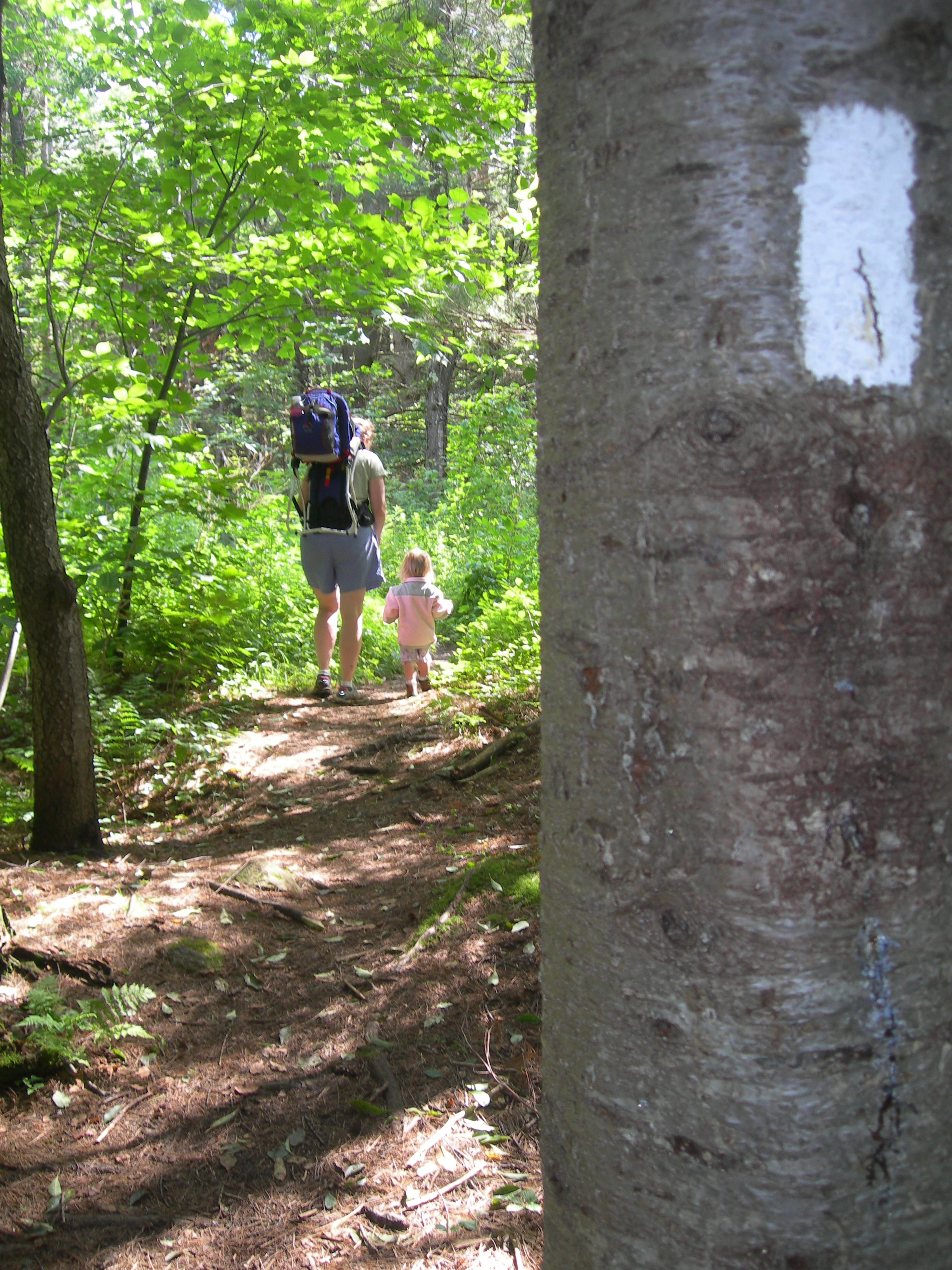

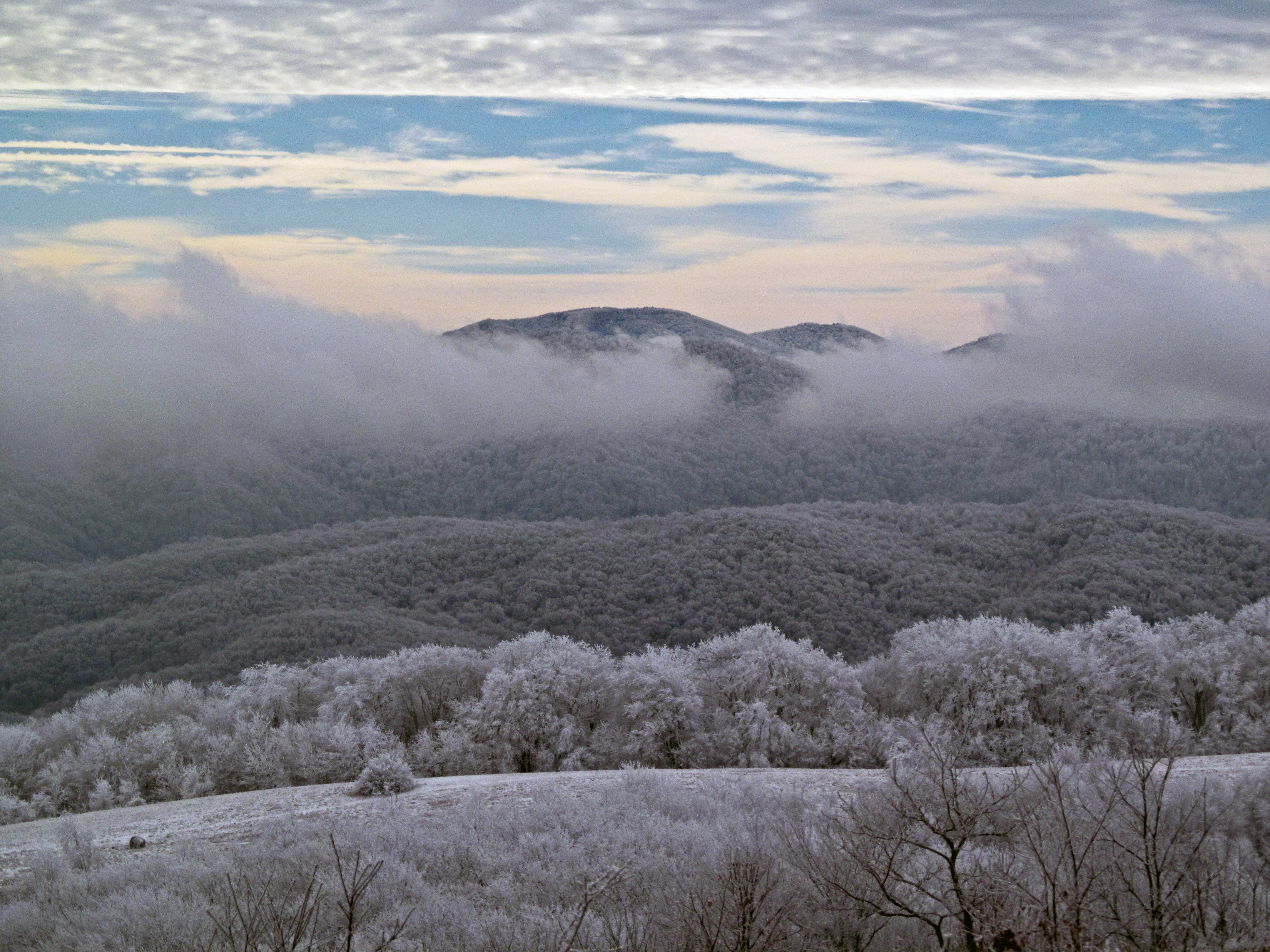

The Appalachian Trail is a legendary long-distance hiking route stretching across the Appalachian Mountains, connecting communities, wilderness, and cultural landmarks along its entire length. Hikers come for epic multi-week treks, weekend backpacking trips, and day hikes through forest and mountain terrain that spans multiple states and ecological zones.
The trail passes through Georgia near Nimblewill, offering entry points and sections for visitors of all experience levels. Whether you're planning a thru-hike, section hiking, or a short day walk, you'll find access points and shelter locations throughout the corridor.
No permit is required to hike the Appalachian Trail. The route is maintained by a network of volunteers, state agencies, and the Appalachian Trail Conservancy, making it one of the most accessible long-distance trails in North America. Best planning starts with understanding your chosen section's terrain, season, and water sources before you set out.
No locations are linked to Appalachian Trail yet.
Common Questions
What visitors most often want to know about Appalachian Trail.
Do I need a permit to hike the Appalachian Trail near Nimblewill, Georgia?
No permit is required to hike this section of the Appalachian Trail. It's open to day hikers and backpackers, and no reservation is needed to access the trail corridor in this part of Georgia.
Where does the Appalachian Trail actually begin near Nimblewill?
The trail's southern terminus sits atop Springer Mountain, at 3,782 feet, in the national forest land near Nimblewill Gap. The starting point was moved here in 1958 from Mount Oglethorpe, about 14 miles to the northeast, once development crowded that original site.
How do most hikers get to the start of the trail at Springer Mountain?
Most hikers reach the summit by walking the 8.5-mile blue-blazed approach trail that begins at Amicalola Falls State Park. Forest Service roads near Nimblewill Gap also lead closer to the trailhead for those not hiking the full approach.
How long is the Appalachian Trail within Georgia?
The Georgia portion of the Appalachian Trail runs about 76.4 miles, starting at Springer Mountain and continuing north to the North Carolina border. This stretch passes through the Chattahoochee-Oconee National Forest.
Is there a place to camp right at the southern terminus?
Yes, an open-front trail shelter is located about 400 yards down a signed side trail near the Springer Mountain summit. It's a common stopping point for hikers on their first night out.
Who maintains the Appalachian Trail in this area?
The trail is jointly managed by the National Park Service, the U.S. Forest Service, the Appalachian Trail Conservancy, state agencies, and thousands of volunteers. It was first conceived in 1921 and completed as a continuous footpath in 1937.