Open Canyon Logo

Rivers

Explore Rivers

Browse whitewater rivers and get automated alerts when flow, weather, and permit conditions are perfect.

Filter by State:

Showing 67 of 67 rivers
Map showing the location of Arkansas River - The Narrows
Arkansas River

Arkansas River - The Narrows

No flow data

Map showing the location of Bighorn Sheep Canyon
Arkansas RiverRunnable

Bighorn Sheep Canyon

304 CFS

Map showing the location of Browns Canyon
Arkansas River

Browns Canyon

No flow data

Map showing the location of Bruneau River
Bruneau RiverLow

Bruneau River

42 CFS

Map showing the location of Cache la Poudre - Lower Mishawaka
Cache la Poudre River

Cache la Poudre - Lower Mishawaka

No flow data
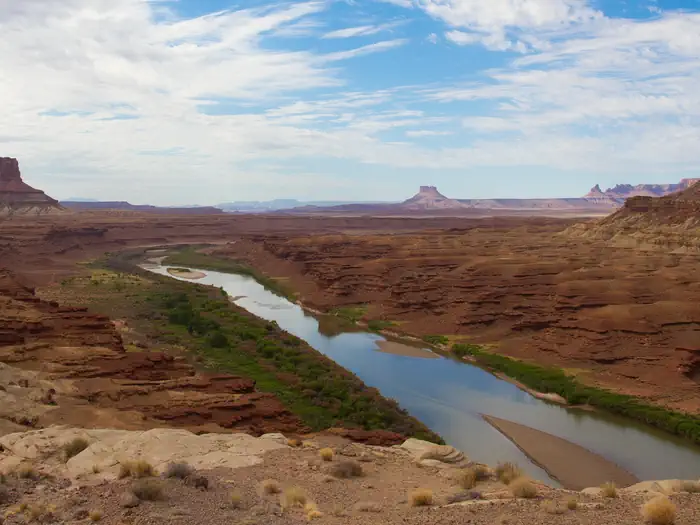
Green River View
Colorado RiverRunnable

Cataract Canyon

8,590 CFS

Map showing the location of Clear Creek - Intermediate Section
Clear CreekLow

Clear Creek - Intermediate Section

54 CFS
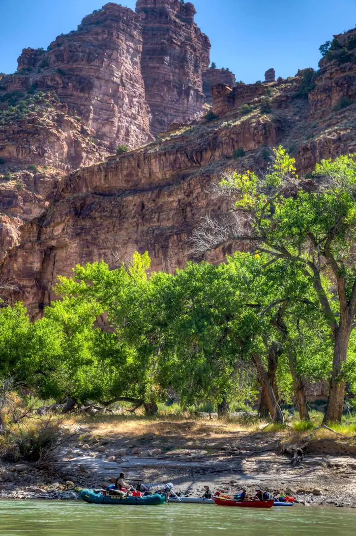
Deso Camp
Green RiverRunnable

Desolation and Gray Canyons

5,040 CFS

Map showing the location of Dolores River - Big Gypsum Valley to Bedrock
Dolores RiverLow

Dolores River - Big Gypsum Valley to Bedrock

25 CFS
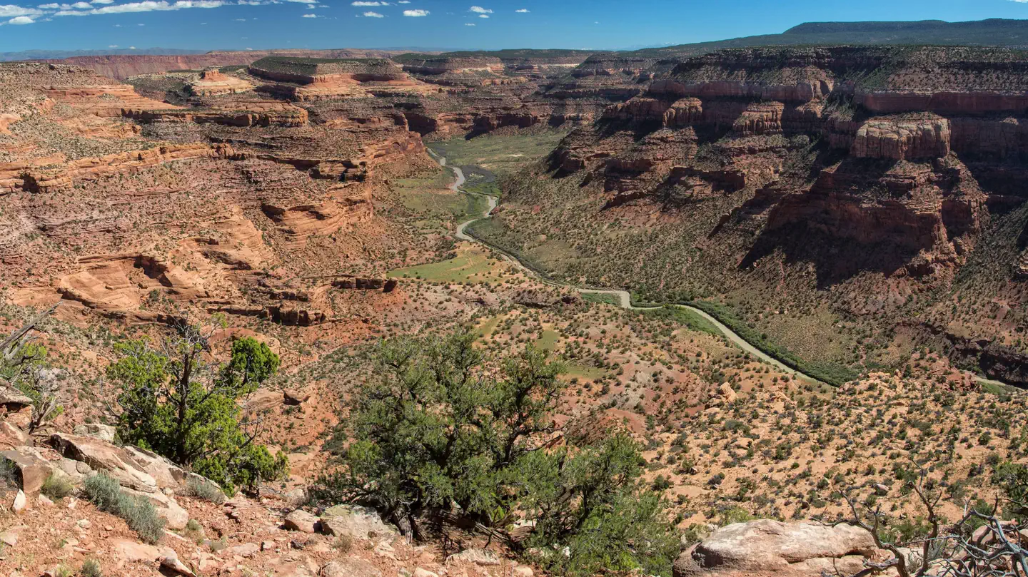
Looking down from the mesa top to the Dolores River as it winds through the canyon.
Dolores River

Dolores River - Gateway to Dewey Bridge

No flow data

Map showing the location of Dolores River - Ponderosa Gorge
Dolores RiverLow

Dolores River - Ponderosa Gorge

300 CFS

Map showing the location of Eagle River
Eagle RiverLow

Eagle River

3 CFS

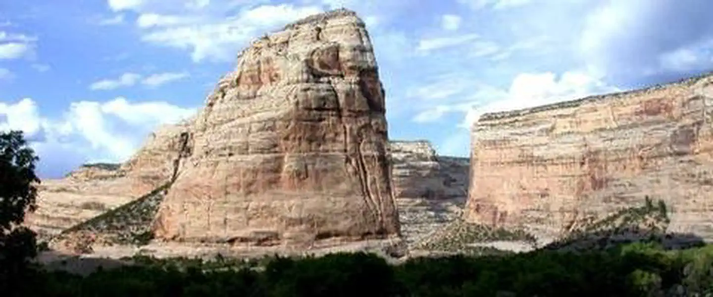
Dinosaur National Monument
Green RiverRunnable

Gates of Lodore

2,180 CFS

Map showing the location of Glenwood Canyon
Colorado River

Glenwood Canyon

No flow data

Map showing the location of Grand Canyon - Lee's Ferry to Diamond Creek
Colorado RiverRunnable

Grand Canyon - Lee's Ferry to Diamond Creek

5,670 CFS

Map showing the location of Gunnison Gorge
Gunnison RiverLow

Gunnison Gorge

213 CFS

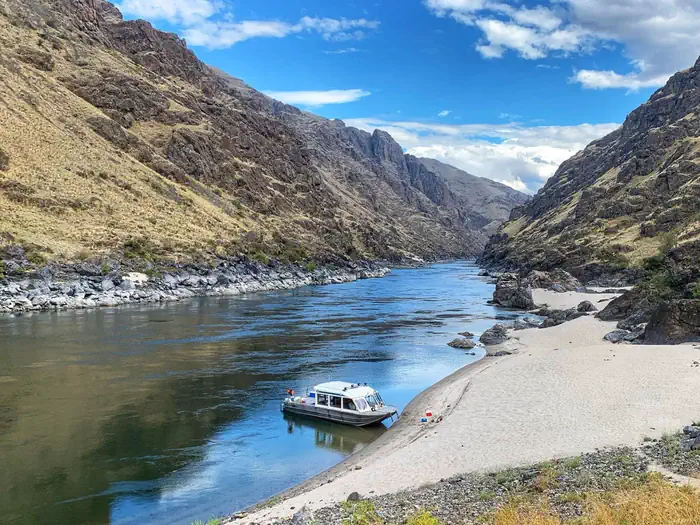
Forest Service on Hells Canyon beach along Snake River
Snake RiverRunnable

Hells Canyon on the Snake River

13,200 CFS

Map showing the location of Jarbidge River
Jarbidge RiverLow

Jarbidge River

3 CFS

John Day River straight
John Day RiverLow

John Day River

204 CFS

Map showing the location of Labyrinth and Stillwater Canyons
Green River

Labyrinth and Stillwater Canyons

4,900 CFS

Map showing the location of Lochsa River
Lochsa River

Lochsa River

No flow data

Map showing the location of Lower Animas River (Oxbow to Santa Rita)
Animas RiverRunnable

Lower Animas River (Oxbow to Santa Rita)

1,250 CFS
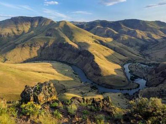
Lower Deschutes River Boater Pass
Deschutes RiverRunnable

Lower Deschutes River

4,380 CFS

Map showing the location of Lower Gorge of the Rio Grande River
NM

Lower Gorge of the Rio Grande River

186 CFS

Lower Salmon
Salmon RiverRunnable

Lower Salmon River

3,790 CFS

Map showing the location of Main Payette - Banks to Beehive Bend
Payette RiverLow

Main Payette - Banks to Beehive Bend

803 CFS

Rainbow Over Salmon River
Salmon RiverRunnable

Main Salmon River

3,790 CFS

Map showing the location of Meander Canyon
Colorado River

Meander Canyon

No flow data

Map showing the location of Middle Box of the Rio Grande River
NM

Middle Box of the Rio Grande River

190 CFS

Map showing the location of Middle Fork Payette - Nozzle Section
Payette RiverLow

Middle Fork Payette - Nozzle Section

95 CFS
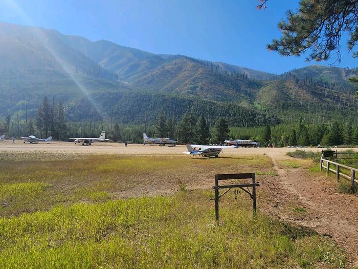
Indian Creek airstrip with planes
Salmon RiverLow

Middle Fork Salmon River

492 CFS

Map showing the location of Moab Daily Cisco Stretch
Colorado River

Moab Daily Cisco Stretch

No flow data

Map showing the location of North Fork Payette - Cabarton to Smith's Ferry
Payette River

North Fork Payette - Cabarton to Smith's Ferry

No flow data

Map showing the location of North Fork Payette - Smith's Ferry to Banks
Payette River

North Fork Payette - Smith's Ferry to Banks

No flow data

Map showing the location of Northgate Canyon on the North Platte
North Platte RiverLow

Northgate Canyon on the North Platte

55 CFS

Map showing the location of Owyhee River - Upper Section
Owyhee RiverLow

Owyhee River - Upper Section

88 CFS

Beehive Bend
ID

Payette River: Beehive Bend

No flow data
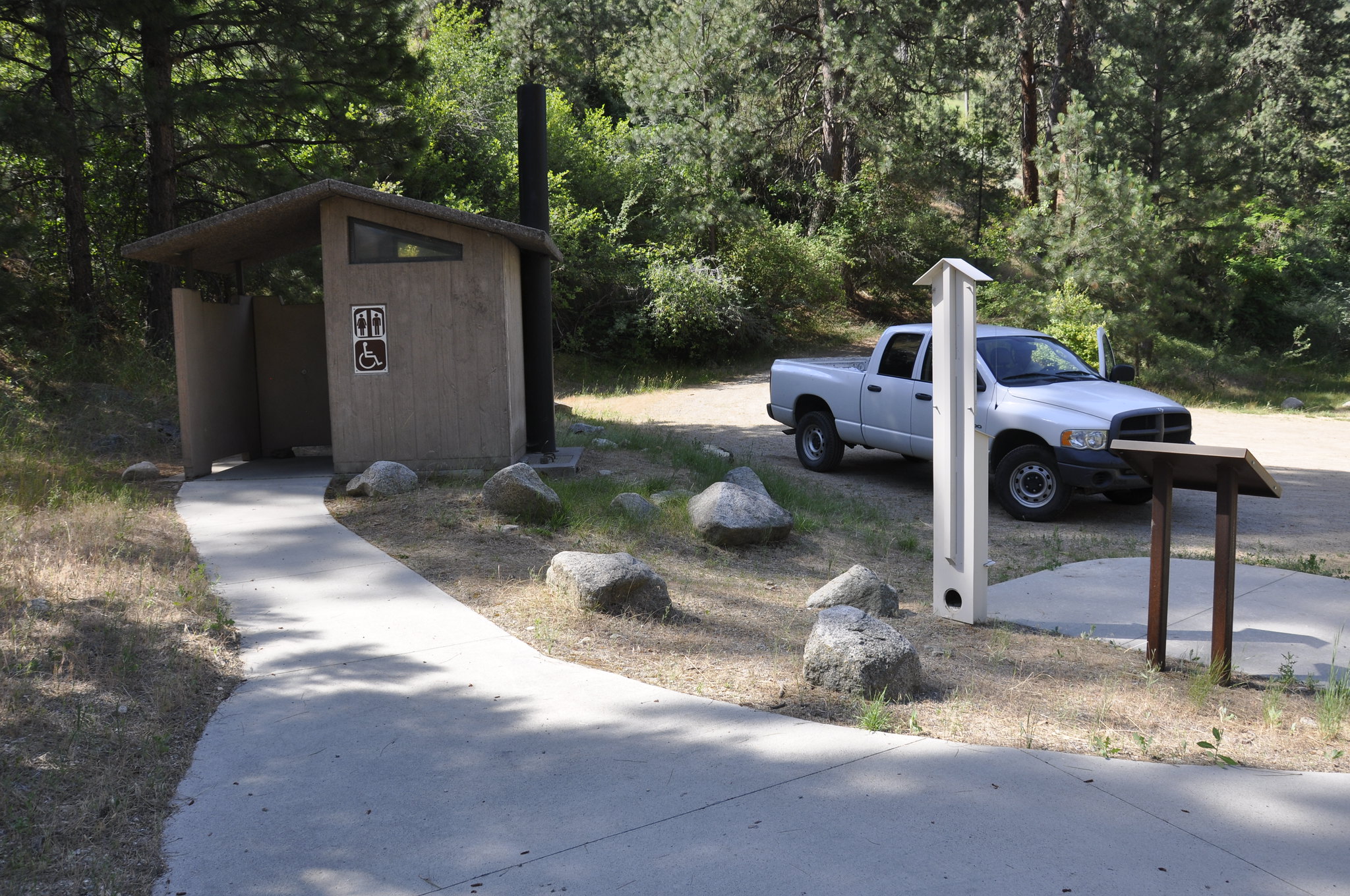
Chief Parrish Day-Use Site
ID

Payette River: Chief Parrish

No flow data
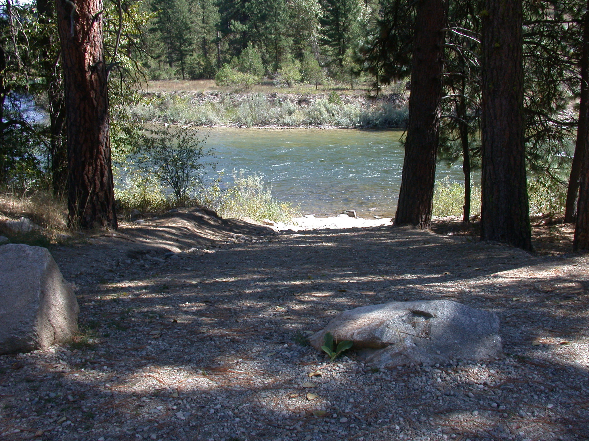
Confluence
ID

Payette River: Confluence

No flow data
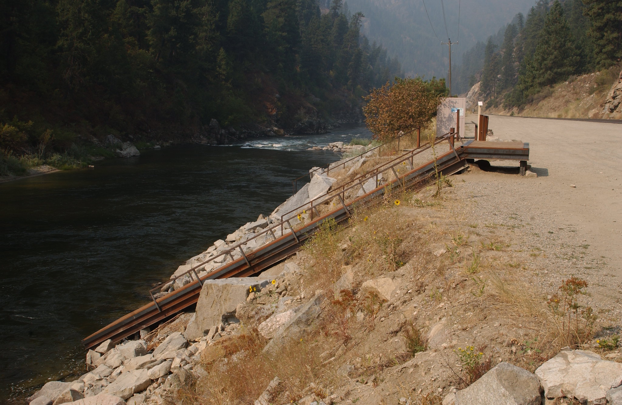
Deer Creek on the Payette River
ID

Payette River: Deer Creek

No flow data
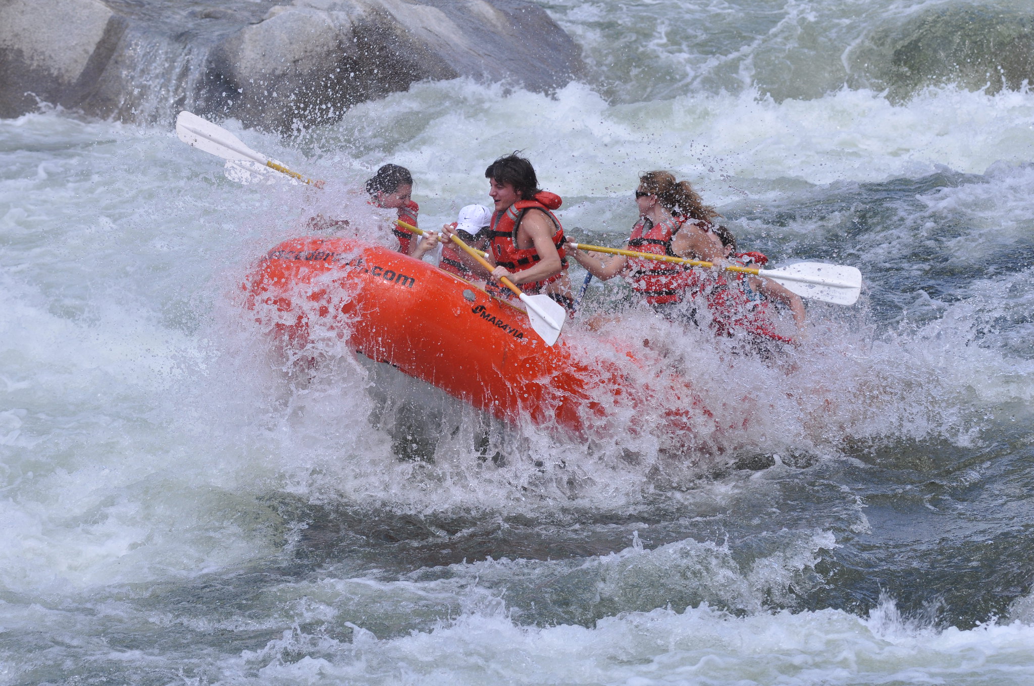
Payette River Boaters
ID

Payette River: South Fork

No flow data

Rapid between Chavez and Big Eddy being run by canoe.
Rio Chama RiverLow

Rio Chama River

156 CFS

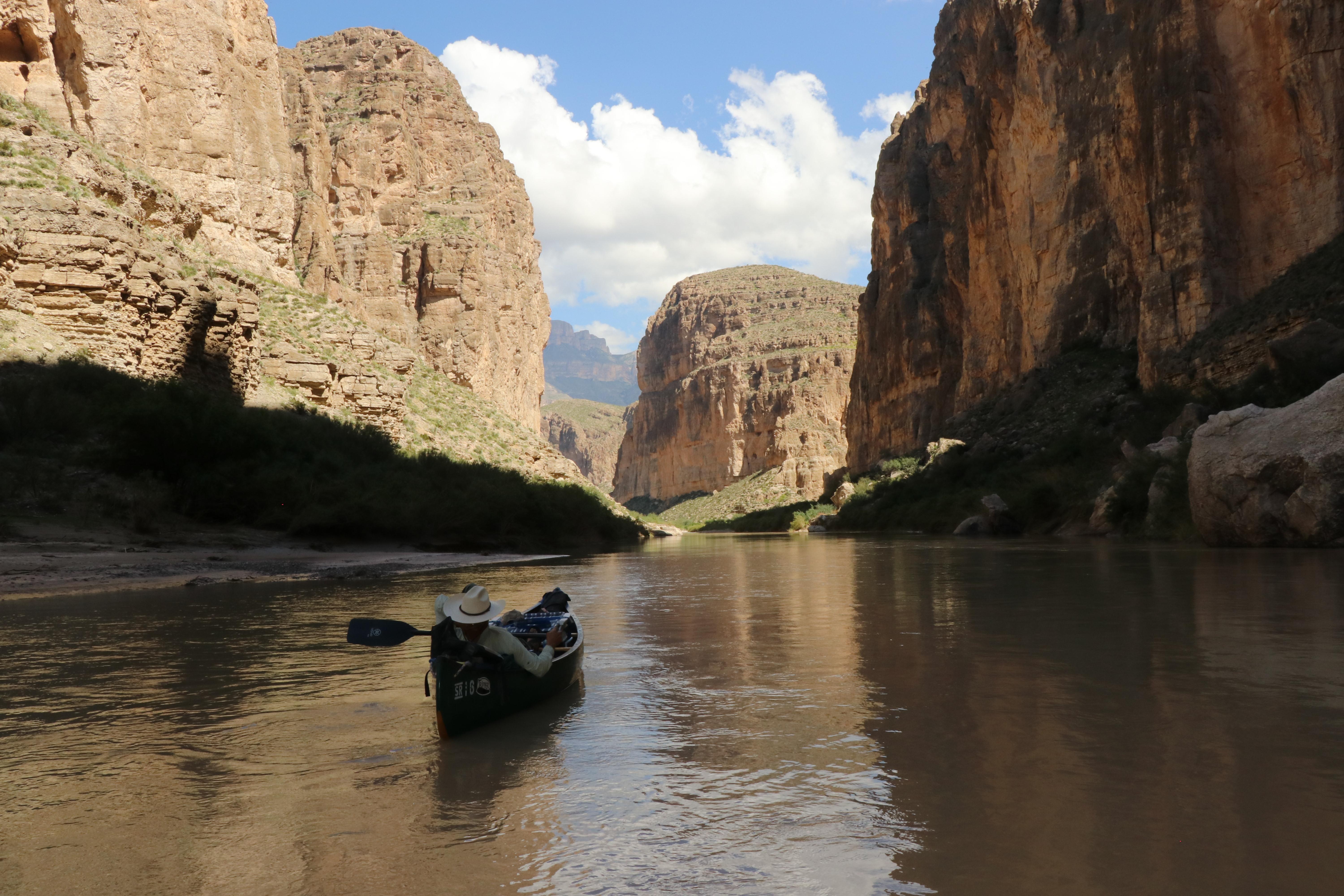
Canoeing Boquillas Canyon
TX

Rio Grande Wild & Scenic River

No flow data

Map showing the location of Roaring Fork River
Roaring Fork RiverLow

Roaring Fork River

496 CFS

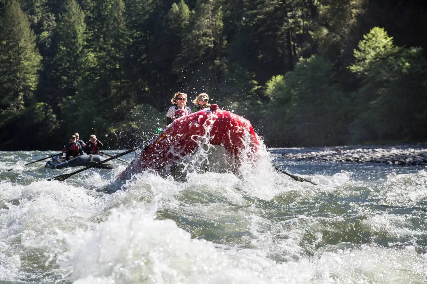
Passengers smile as the nose of their raft leaps upward going through whitewater.
Rogue RiverLow

Rogue River Wild Section

1,150 CFS

Map showing the location of Royal Gorge
Arkansas River

Royal Gorge

No flow data

Cottonwood 1
Colorado RiverRunnable

Ruby-Horsethief Canyon

2,730 CFS

Map showing the location of Salmon River - Sunbeam Section
Salmon RiverLow

Salmon River - Sunbeam Section

89 CFS

Map showing the location of Salmon River - Yankee Fork to Clayton
Salmon RiverLow

Salmon River - Yankee Fork to Clayton

464 CFS
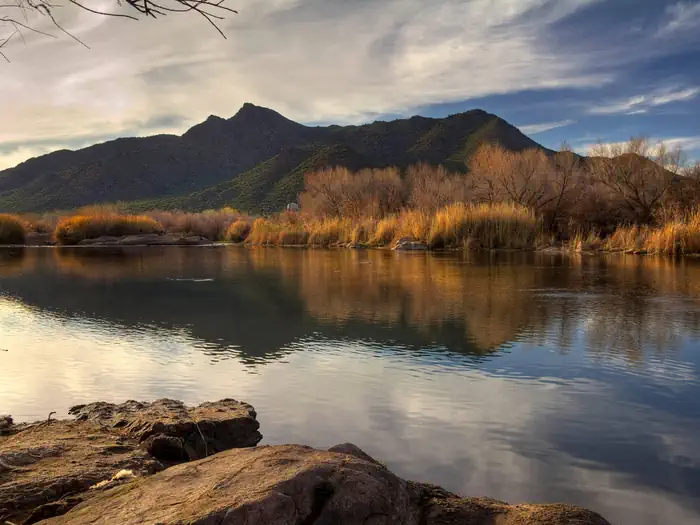
Salt River
Salt RiverRunnable

Salt River Canyon

478 CFS

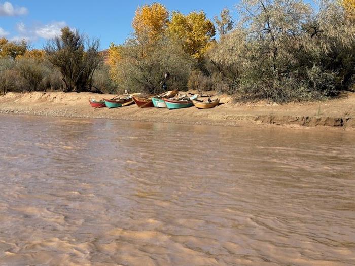
boats on beach
San Juan RiverRunnable

San Juan River - Sand Island to Clay Hills

1,800 CFS
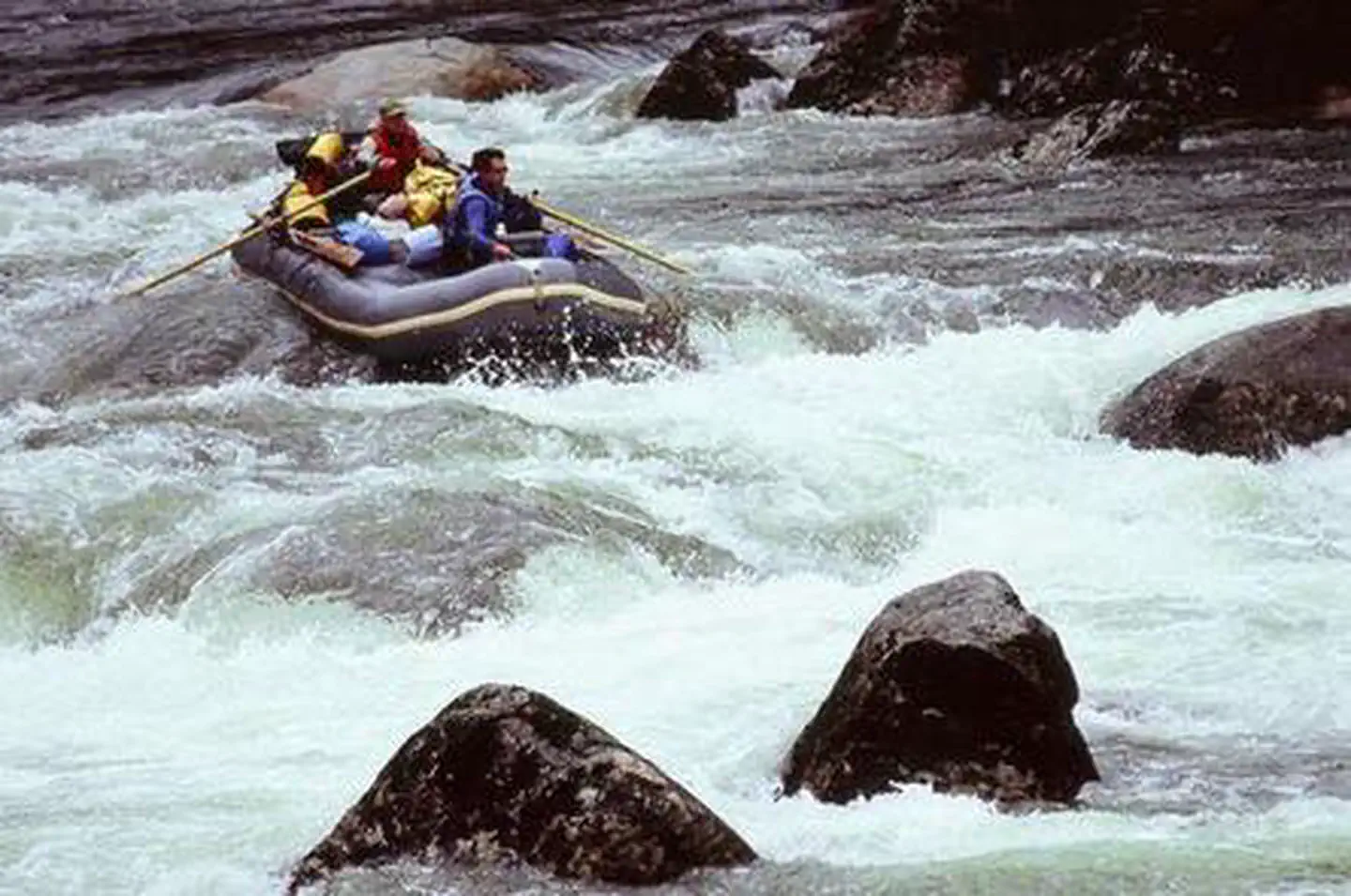
SELWAY RIVER (4 Rivers)
Selway RiverLow

Selway River

517 CFS

Map showing the location of Snake River - Hagerman Section
Snake RiverRunnable

Snake River - Hagerman Section

7,050 CFS

Map showing the location of Snake River - Murtaugh Section
Snake RiverRunnable

Snake River - Murtaugh Section

7,050 CFS

Map showing the location of South Fork Payette - Danskin Station to Banks
Payette RiverLow

South Fork Payette - Danskin Station to Banks

334 CFS

Map showing the location of South Fork Payette - Grandjean to Lowman
Payette RiverLow

South Fork Payette - Grandjean to Lowman

334 CFS

Map showing the location of South Fork Salmon River
Salmon RiverLow

South Fork Salmon River

110 CFS

Dinosaur National Monument - Split Mountain Permits 1
Green River

Split Mountain Daily

No flow data

Map showing the location of Taos Box of the Rio Grande River
NM

Taos Box of the Rio Grande River

186 CFS

Map showing the location of The Numbers
Arkansas River

The Numbers

No flow data

Map showing the location of Upper Animas - Needleton Section
Animas RiverRunnable

Upper Animas - Needleton Section

1,250 CFS

Map showing the location of Upper Colorado River (Pumphouse to Radium)
Colorado RiverLow

Upper Colorado River (Pumphouse to Radium)

417 CFS

Map showing the location of Upper Piedra River
Piedra RiverRunnable

Upper Piedra River

712 CFS

Map showing the location of Upper San Miguel River (Bilk to Caddis)
San Miguel RiverLow

Upper San Miguel River (Bilk to Caddis)

189 CFS

Map showing the location of Verde River - Beasley Flats to Childs
Verde RiverRunnable

Verde River - Beasley Flats to Childs

746 CFS
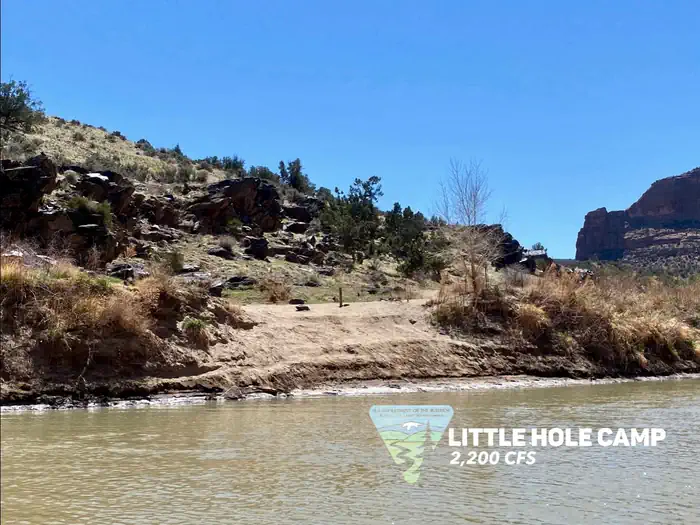
Little Hole Camp, river left
Colorado RiverRunnable

Westwater Canyon

2,730 CFS

Dinosaur National Monument
Yampa RiverLow

Yampa River

615 CFS

Browse by State

Jump directly to state-specific river listings with detailed information and local conditions.