
Banks, ID
Payette River Corridor
Eleven river sections flowing from central Idaho mountains, managed for public boating access.
The Payette River Corridor encompasses 11 river sections across central Idaho near Banks, offering varied white-water boating and river recreation opportunities managed jointly by the BLM and Forest Service. No permit is required to enjoy this extensive river system.
The corridor includes multiple sections of the main Payette River and its forks: Main Payette - Banks to Beehive Bend, Middle Fork Payette - Nozzle Section, North Fork Payette - Cabarton to Smith's Ferry, North Fork Payette - Smith's Ferry to Banks, South Fork Payette - Grandjean to Lowman, and South Fork Payette - Danskin Station to Banks, plus several specific bend and tributary access points including Payette River: Beehive Bend, Payette River: Chief Parrish, Payette River: Confluence, Payette River: Deer Creek, and Payette River: South Fork.
These river sections flow from the central Idaho mountains and are designed to serve paddlers of different skill levels. Each named section offers distinct character and conditions — check the individual page for each river stretch to find difficulty ratings, access details, and seasonal information that match your experience and trip style.
Experiences
Rivers
Explore 11 rivers locations in Payette River Corridor.
Main Payette - Banks to Beehive Bend
Middle Fork Payette - Nozzle Section
North Fork Payette - Cabarton to Smith's Ferry
North Fork Payette - Smith's Ferry to Banks
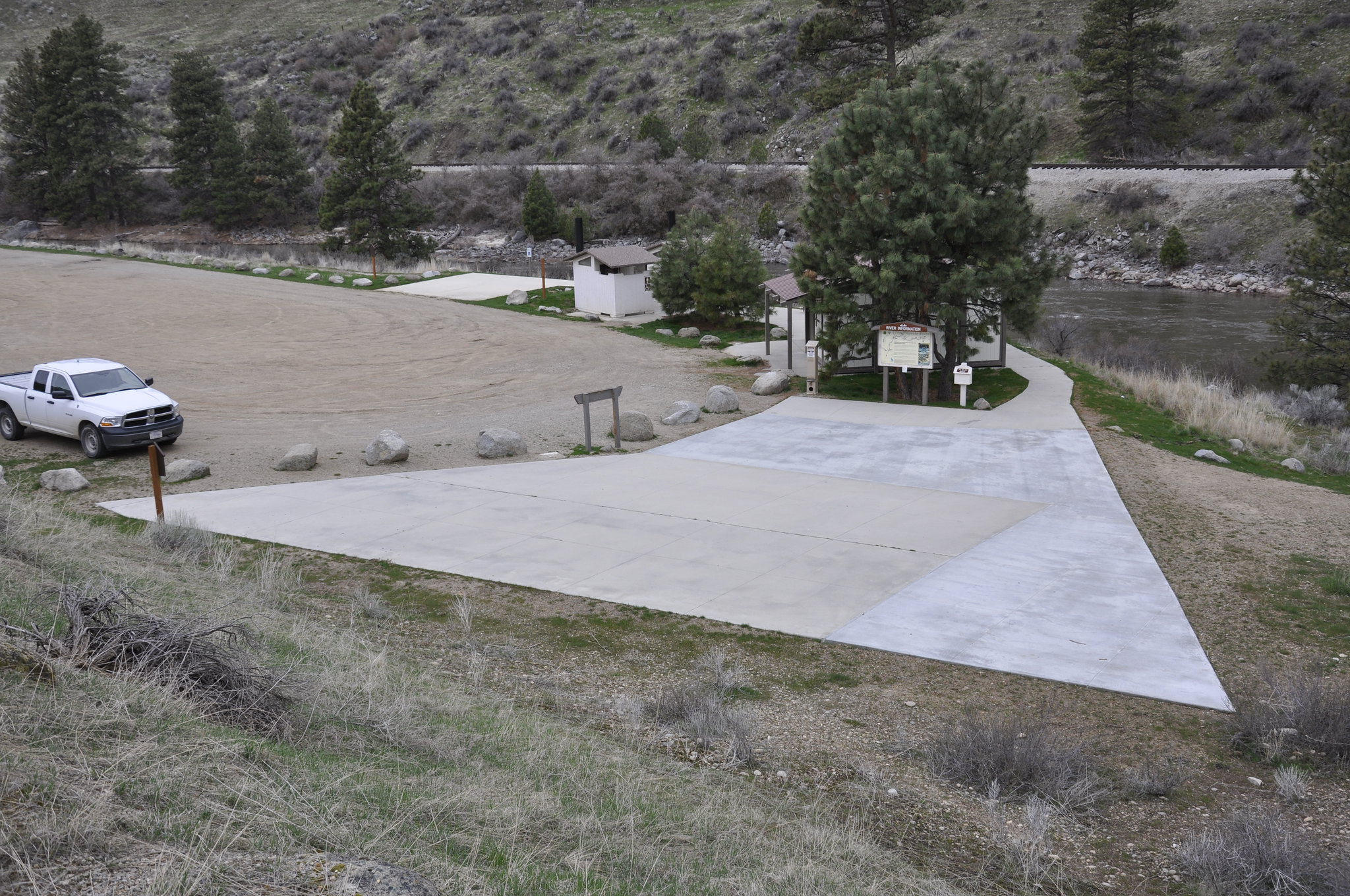
Payette River: Beehive Bend
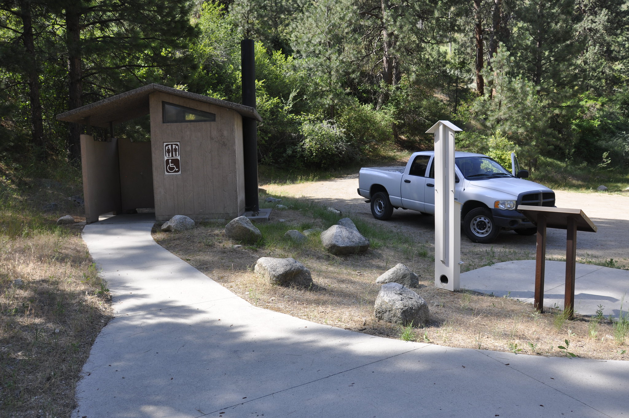
Payette River: Chief Parrish
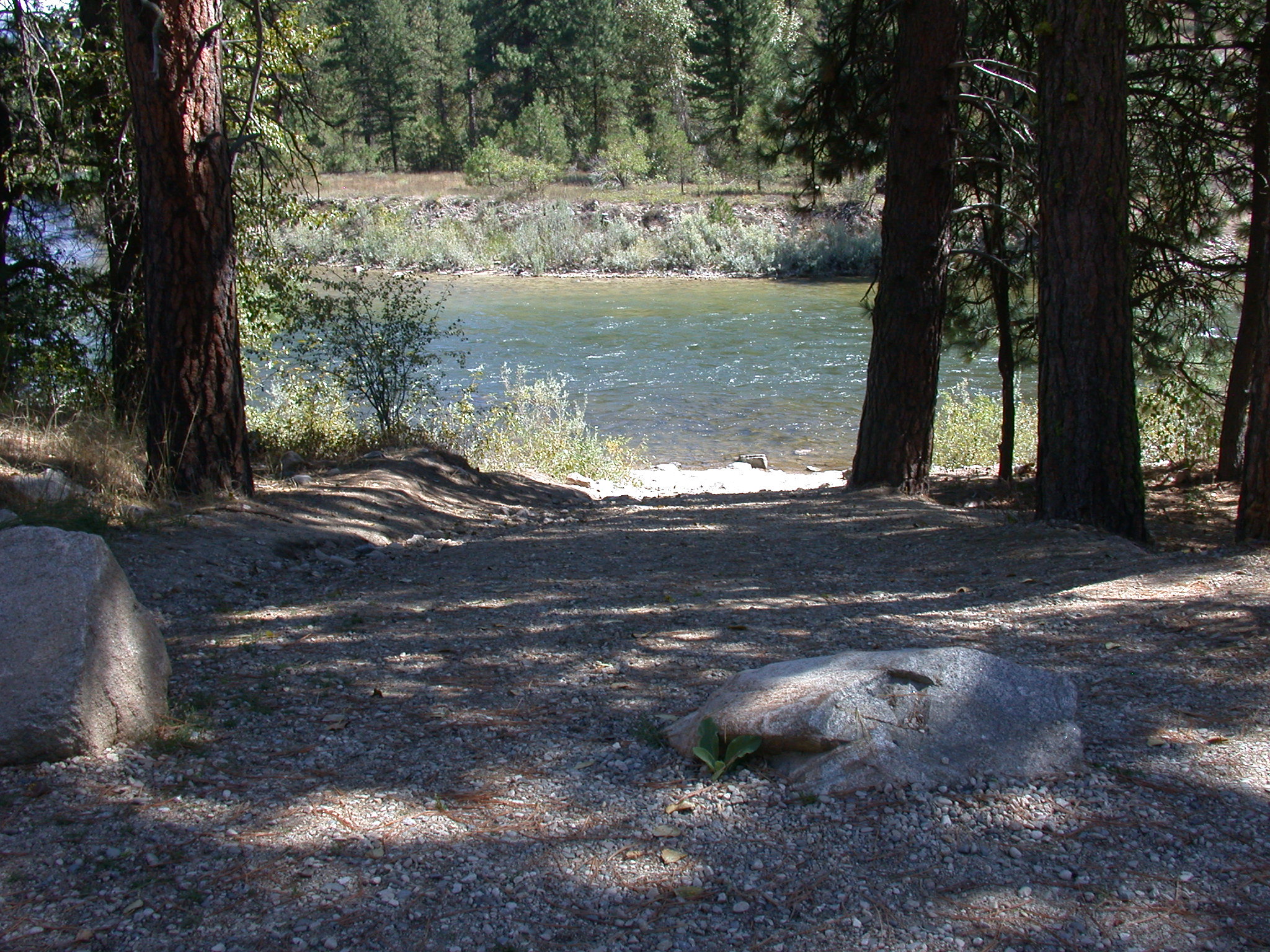
Payette River: Confluence
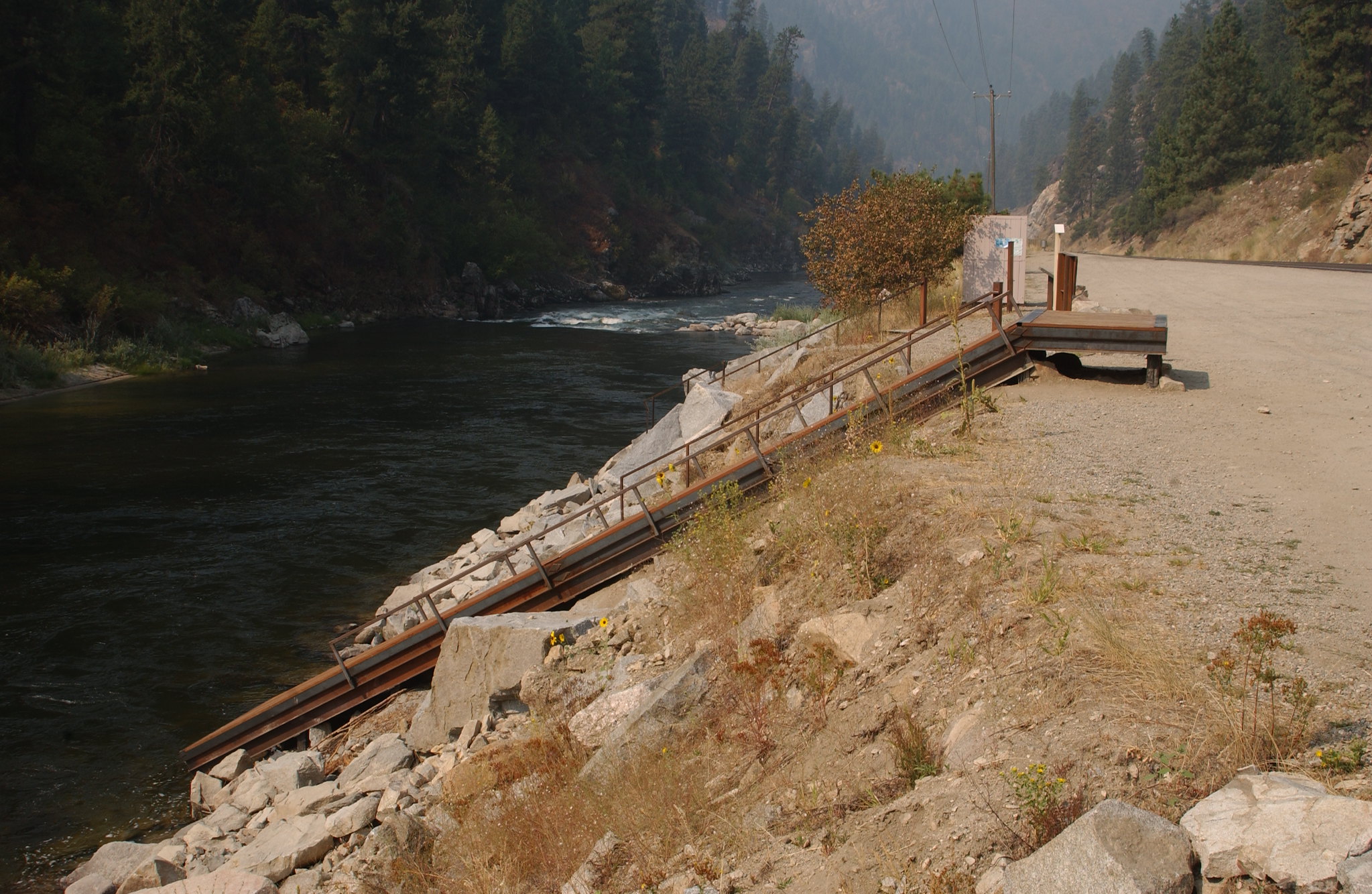
Payette River: Deer Creek
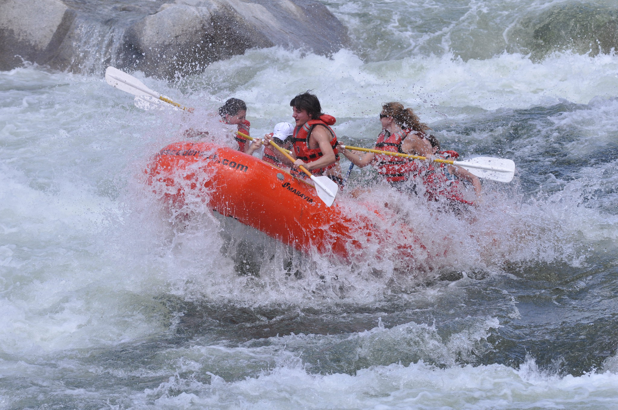
Payette River: South Fork
South Fork Payette - Danskin Station to Banks
South Fork Payette - Grandjean to Lowman
Common Questions
What visitors most often want to know about Payette River Corridor.
Do I need a permit to raft the Payette River Corridor?
No permit is required to boat on the Payette River Corridor. The Main Payette and South Fork Payette Rivers are jointly managed by the BLM and Forest Service to provide public river access for white-water boating and other recreational use.
What sections of the Payette River are best for beginners?
The Main Payette from Banks to Beehive Bend offers Class II-III rapids and is recommended for beginners. This section provides a good introduction to white-water boating with manageable rapid difficulty.
What river sections are available in the Payette River Corridor?
The corridor includes 11 rivers across multiple named sections, including the Main Payette, South Fork Payette, North Fork Payette, and Middle Fork Payette with various put-in and take-out options. Specific sections range from Banks to Beehive Bend on the Main Payette to Grandjean to Lowman on the South Fork.
Where is the Payette River Corridor located?
The Payette River Corridor is located in Idaho near Banks in the central Idaho mountains. The river system flows from the mountain region and offers multiple access points throughout the corridor.